合作伙伴产品
浩辰CAD与合作伙伴携手,提供更为优质应用开发软件。
1.Triangulated network (TIN)
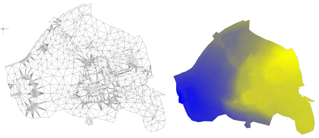
Function creates TIN from set of points. User has the option to define breaklines.
2. Longitudinal / Cross section profile
Creates a profile from section of TIN. At first, function requests your choice, whether you want New profile or Select 3D curve. If you select New profile, then you must specify the type of surface, from which you want to create the profile: TIN / 3D surface.
3. Contours
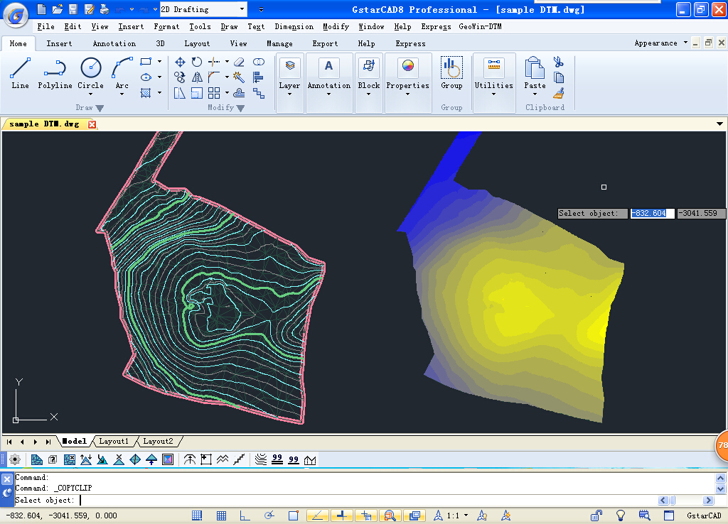
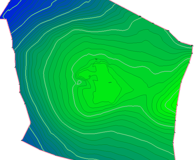
Creates contour lines or smoothed surface in sketch from TIN. User must select already created TIN, then, this window pops-up.
4. Volume calculation
Calculates volumes between two TINs, or between TIN and a comparative plane. The main model of the terrain is able to be refined (reduced) by closed curve. Then, only the volume of this area is calculated. Calculation shows volume above and under comparative plane (model). The calculation can be saved into a file.
5. Editation of TIN
Users can operate Correction of vertex-height of TIN, Removal of TIN vertex, Removal of triangles from TIN (hole), Adding a vertex to TIN, 3D offset of line, Transfer arc to 3D curve, Transfer of line segments to closed 3D curve, Determination of point height in TIN, Curve simplification to edit TIN.
6. Color gradient fill
Fills the triangular mesh (TIN) with 2 color gradient (object type hatch) in 3D space. In Settings, GeoWin-DTM can define a color for the lowest and the highest point of the mesh. The function then interpolates the individual triangles and colors.


